.svg)
.svg)
Mapping & LiDAR
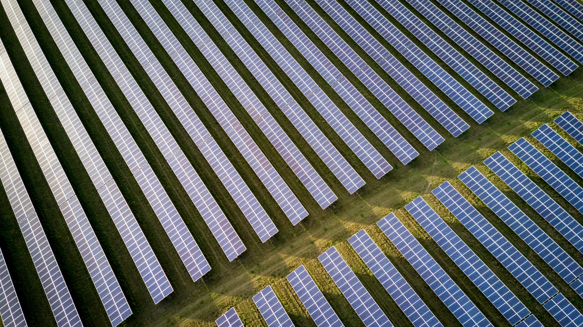
Our drone mapping and LiDAR scanning deliver high density 2D maps and 3D models far faster than traditional methods. This advanced technology streamlines data collection, reduces costs, and accelerates project planning with unmatched precision.
** Data collected by Foley through mapping and LiDAR services is not performed by a licensed surveyor or engineer and does not constitute a certified survey or engineering product as defined under Louisiana law. If licensed certification or approval is required, Foley will engage a qualified third-party licensed contractor.
Key Benefits
Faster mapping than traditional methods
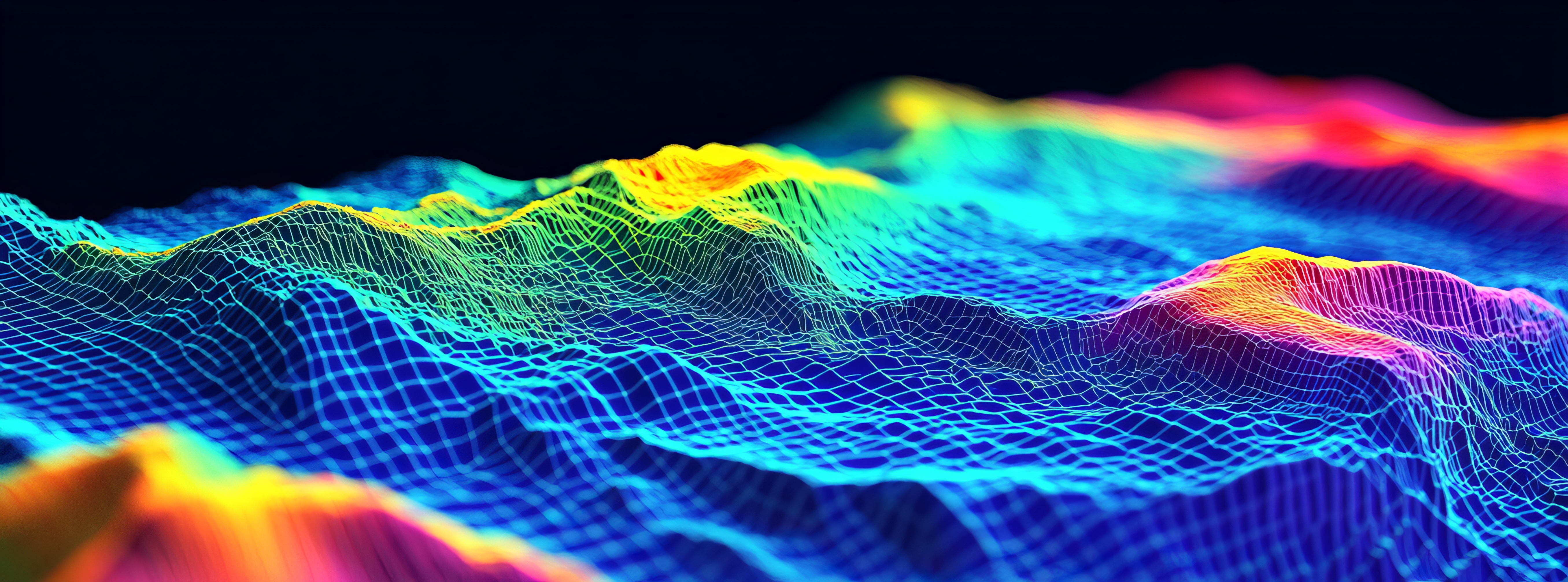
**Precise LiDAR measurements
Safe data collection in hard-to-reach areas
Specialties
Our drone progress monitoring delivers real-time aerial views and detailed 3D mapping to track every stage of your construction project. High-resolution visuals keep stakeholders informed, improve communication, and highlight potential issues before they impact timelines. This efficient, cost-effective solution ensures projects stay on schedule and within scope.
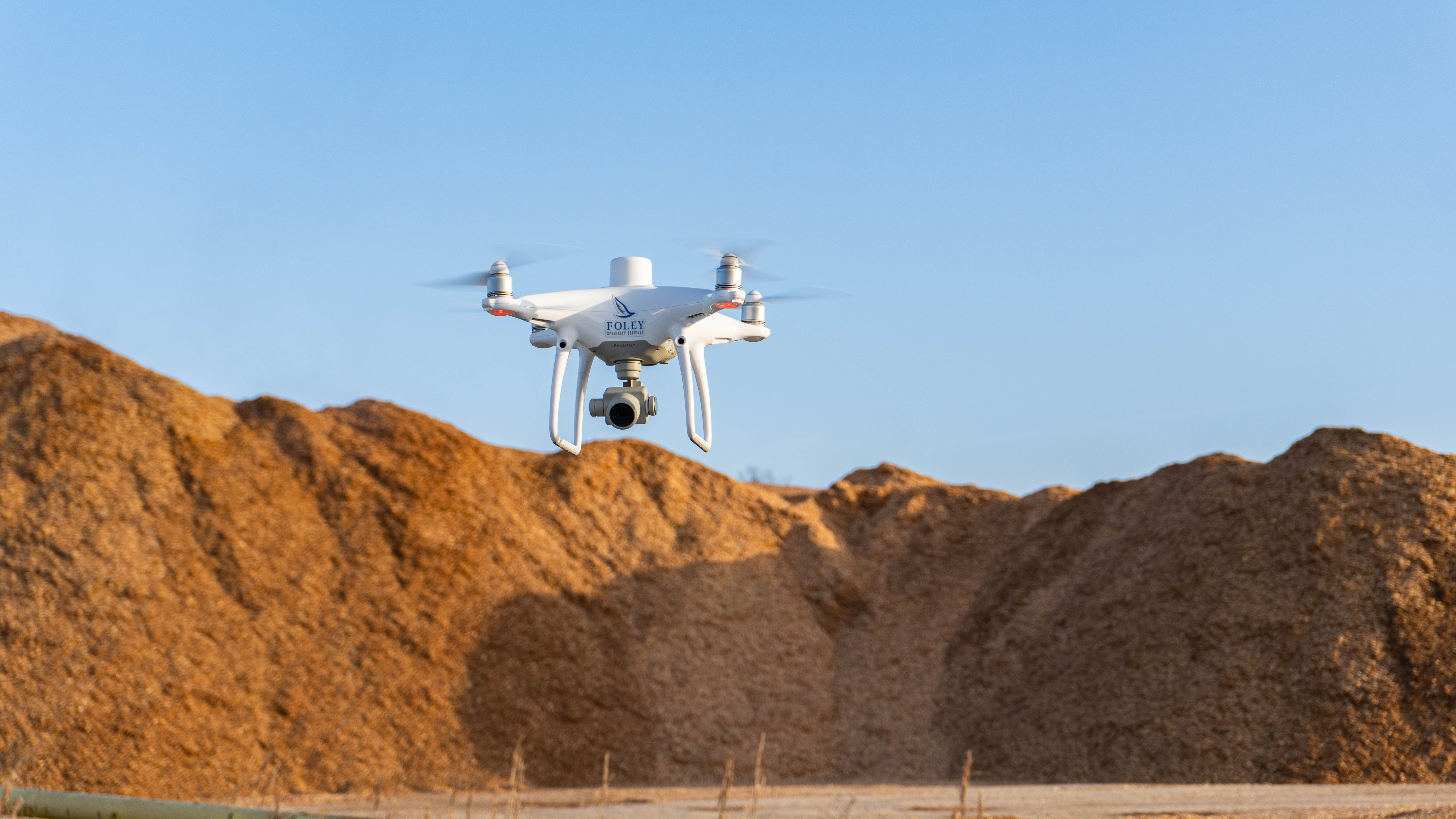
Our drone based volumetric calculations deliver precise measurements of stockpiles and bulk materials, giving manufacturing and mining operations the data they need for smarter inventory management. Using high-resolution imagery and advanced 3D modeling, we provide reliable volume estimates without the delays and risks of manual assessments. This fast, safe, and cost-effective solution streamlines planning, improves accuracy, and enhances cost control.
Our LiDAR scanning penetrates dense vegetation to reveal accurate ground surfaces and terrain hidden beneath the canopy. By capturing elevation data others miss, we deliver detailed maps and models for confident planning and development. This advanced capability is ideal for environmental studies, land management, and infrastructure projects in heavily forested areas.