.svg)
.svg)
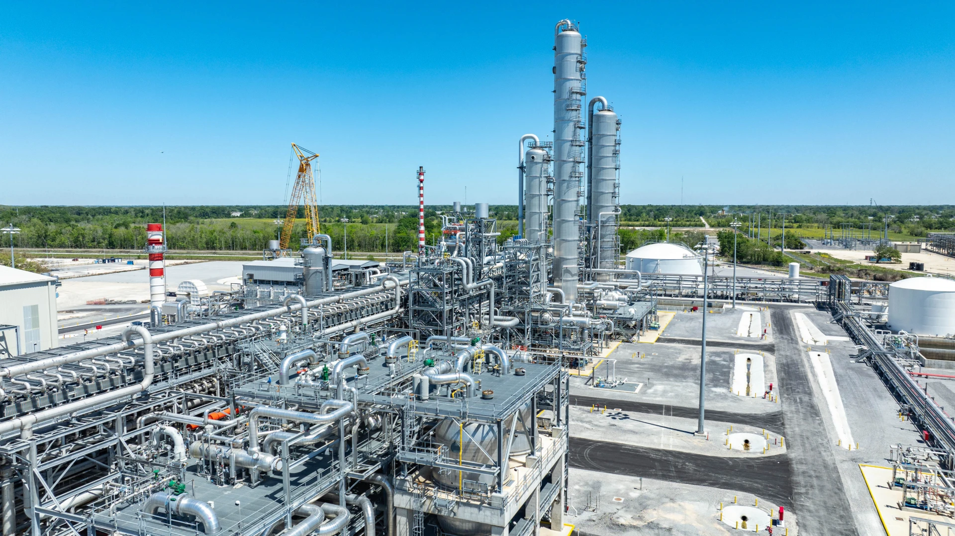
Aerial Photography

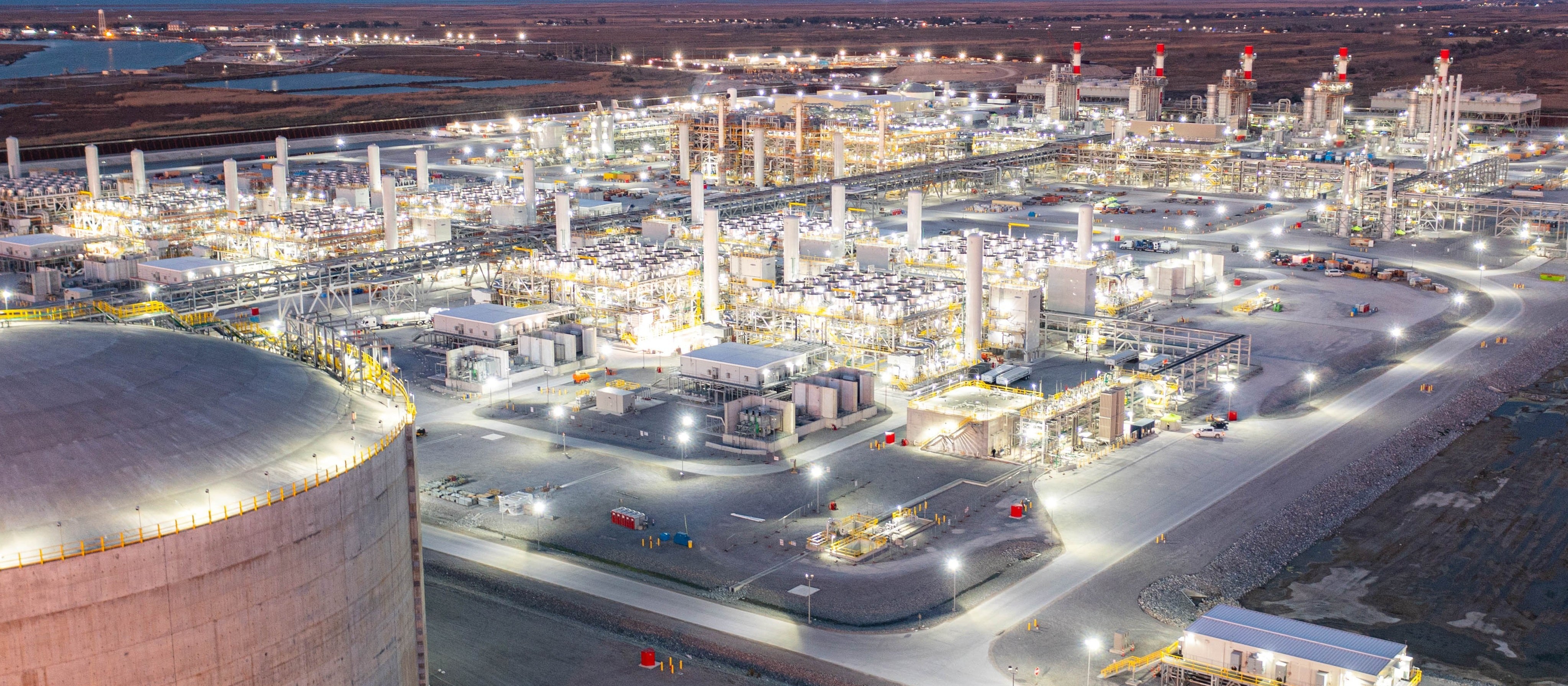
Foley Specialty Services delivers high-quality drone aerial photography to capture stunning, detailed views of your assets, projects, and sites from above. Our advanced technology provides sharp imagery that enhances documentation, marketing, and decision-making with speed and precision.
Key Benefits
Crisp, detailed aerial views.
Capture perspectives not possible from the ground.
Quick delivery at lower costs.
Specialties
Our drone technology provides fast, high-resolution aerial views to track every stage of your construction project. Real-time visuals keep stakeholders informed, improve communication, and highlight potential issues before they affect timelines. This efficient, cost-effective solution helps ensure projects stay on schedule and within budget.
Our drone services provide fast, high-resolution imagery to assess property damage safely and accurately. By capturing detailed aerial views, we help insurers and adjusters evaluate claims more efficiently and reduce on-site inspection time. This streamlined approach speeds up the claims process, improves accuracy, and enhances customer satisfaction.
Our drone technology delivers rapid, high-resolution imagery to assess damage after natural disasters, even in areas that are unsafe or inaccessible. Detailed aerial views provide emergency responders, insurers, and recovery teams with the critical information needed to prioritize resources and plan effective responses. This fast, accurate approach accelerates decision-making, improves safety, and supports efficient disaster recovery efforts.