Aerial Based Reality Capture

We use advanced drone mounted LiDAR scanning to capture 3D measurements for creating accurate digital twins. This technology collects high-density point clouds from the air, mapping complex structures and environments with exceptional detail. The result is a complete model that supports planning, inspections, and asset management from anywhere.

** Data collected by Foley through mapping and LiDAR services is not performed by a licensed surveyor or engineer and does not constitute a certified survey or engineering product as defined under Louisiana law. If licensed certification or approval is required, Foley will engage a qualified third-party licensed contractor.

Key Benefits

Precision

High-density point cloud data

Coverage

Access hard-to-reach areas

Efficiency

Faster than traditional methods

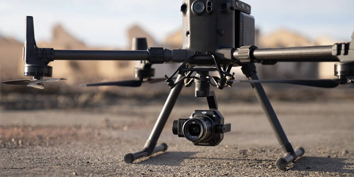
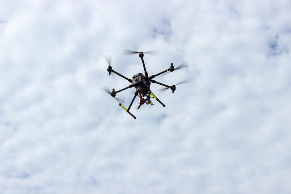
Foley Specialty Services sets itself apart by combining the power of aerial and ground-based LiDAR scanning to deliver unmatched detail and coverage. Our drone technology captures expansive views and hard-to-reach areas from above, while our ground-based systems zero in on fine details and hidden spaces that aerial scans can’t reach. By merging both datasets into one seamless digital twin, we provide a complete, 360° view of your assets ensuring nothing is missed and giving you the clarity to plan, manage, and execute with confidence.