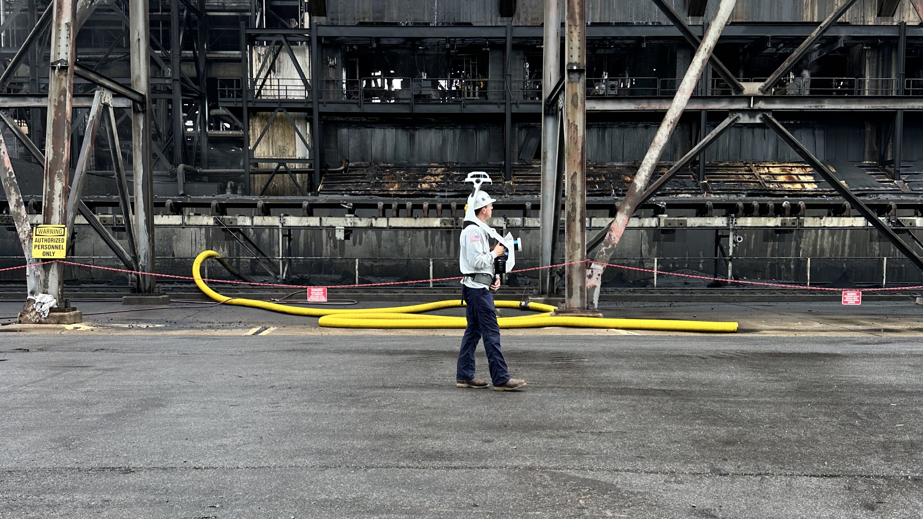
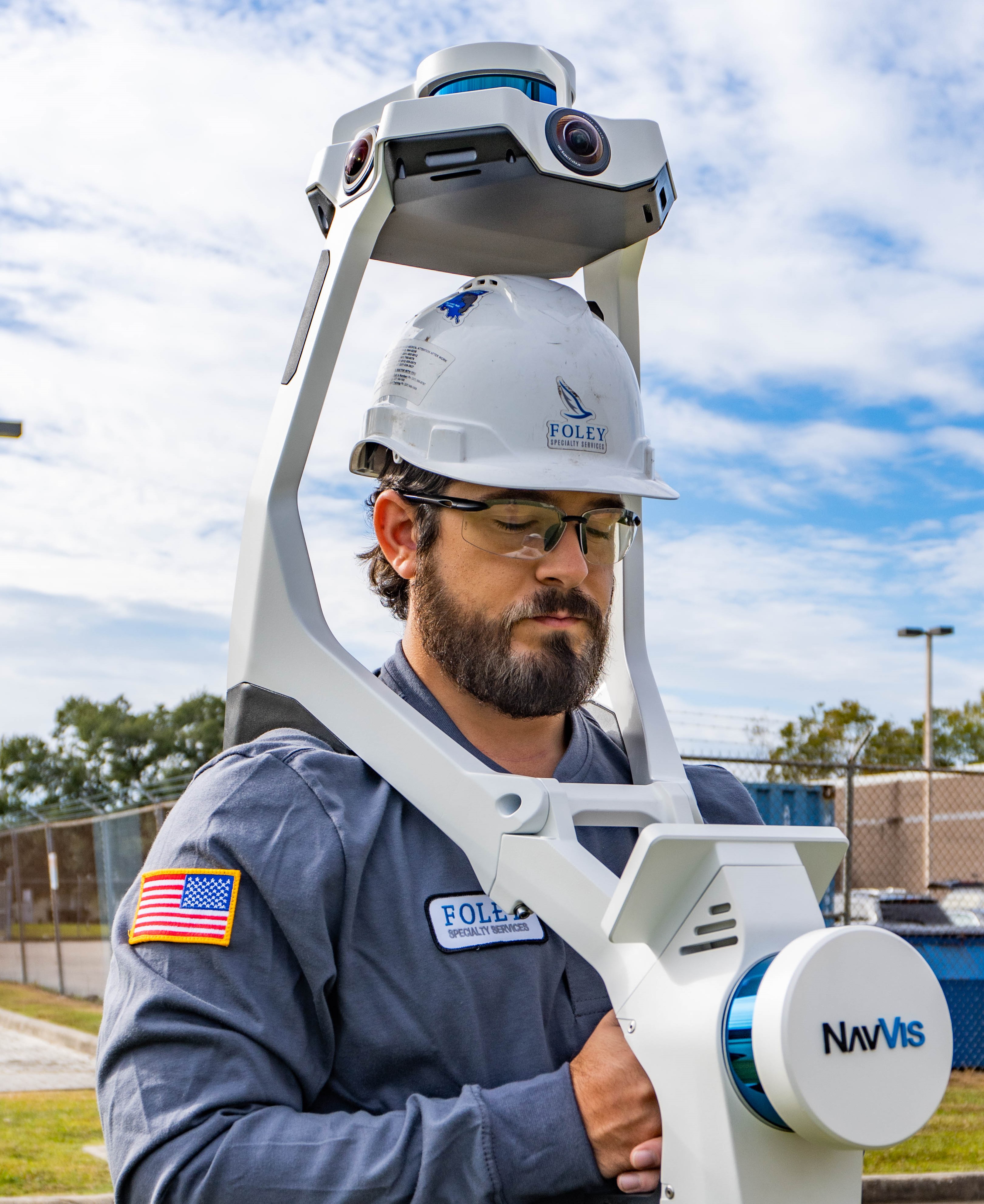
Ground Based Reality Capture

The Basics

Ground-based reality capture uses advanced LiDAR and imaging technology to create highly accurate 3D models of your site from the ground level. This detailed digital data allows for precise measurements, condition assessments, and better project planning without repeated site visits. The result is faster workflows, improved accuracy, and enhanced collaboration across your team.

Our Process

1. Consultation

We collaborate with you to understand your needs and create a tailored plan for your facility.

2. Data Collection

Our skilled technicians use advanced equipment to map your assets and generate the foundation for your digital twin.

3. Deployment

Once data is captured, we process it and train your team on how to effectively use your digital twin.

4. Operations

We provide ongoing support, from interpreting data and images to delivering future training as your digital twin becomes an integral part of your operations.

Key Benefits

Reliability

Delivers precise, always-accessible data for decision-makers anywhere in the world.

Improved Output

Enables engineers to plan and execute projects faster and more efficiently.

Agility

Easily integrates new scans into existing models as projects evolve.

Reduced Travel Costs

Allows stakeholders to remotely access and analyze site data from anywhere.

The Device

Foley Specialty Services uses an advanced all-in-one reality capture device that combines dual multi-layer LiDAR sensors with SLAM software to produce survey-grade point clouds. Four integrated cameras capture high-resolution, 360° imagery for a complete and detailed visual record of your site. This system streamlines scanning, delivering results up to 10 times faster than traditional terrestrial laser scanners.

The Platform

We use NavVis IVION software to host and manage your digital twins, providing secure, browser-based access to detailed 3D models of your facilities from anywhere in the world. This powerful platform allows you to navigate through your site virtually, take precise measurements, and tag important assets or locations for quick reference. With features like multi-user collaboration, panoramic imagery, and seamless data integration, NavVis IVION transforms your digital twin into a fully interactive tool for planning, inspections, and asset management.

Check out NavVis IVION